
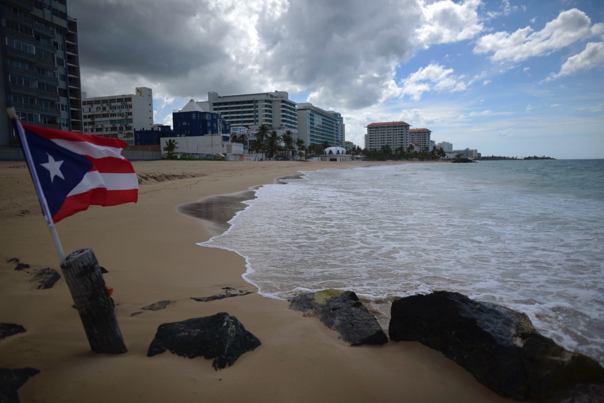
A Puerto Rican flag flies on an empty beach at Ocean Park, in San Juan, Puerto Rico. (AP Photo/Carlos Giusti, File)
SAN JUAN — Hurricane María tore through Puerto Rico more than five years ago, leaving damage that will mark the Caribbean archipelago for decades to come. The energy grid has still not recovered and a deep collective trauma remains within many Puerto Ricans, but perhaps the most noticeable scar left by the hurricane physically is the changes it brought to the coastline.
María, a Category 4 storm that swept through Puerto Rico in September 2017, left the island with a “new coast,” according to a new study by the Institute of Investigation and Coastal Planification of Puerto Rico (CoRePI-PR).
The hurricane caused about 61 miles of coastline to migrate inland, particularly in Vieques, Arecibo, Loíza, Isabela, Culebra, Luquillo, Ponce, Hatillo, Manatí, and Cabo Rojo. The small island municipality of Vieques saw its coastline move 12 miles, according to the study “State of Puerto Rico’s Beaches Post-Hurricane Maria,” the results of which were presented on Wednesday at the University of Puerto Rico-Rio Piedras.
Unlike past studies, CoRePI-PR sought to investigate the state of beaches in all 44 coastal municipalities. About 67 percent of the Puerto Rican population, 2.4 million people, live in coastal municipalities. Within that percentage, 22 percent (728,000) live in a location at high risk for flooding.
“For years, the people of Puerto Rico have had their backs turned to coastal erosion,” principal investigator Dr. Maritza Barreto Orta said. She underscored the importance of having up-to-date data instead of having to rely on decades-old information that no longer applied in a post-María Puerto Rico.
Changes to the coastline between September 2017 and July 2018 have left more communities vulnerable to extreme weather events such as hurricanes or other tropical storms. Separate studies have found that the effects of climate change will cause hurricanes like María five years ago or the recent Fiona —which brought unprecedented flooding— to become more common.
“The implication when a water line moves inland over time is that in a future winter storm or hurricane storm event, then the extent of flooding will be greater than before,” Dr. Barreto Orta said. “Places where there is inland water line migration are examples of areas where we have to raise the planning flag because they are much more exposed areas than others.”
Changing Coastlines Lead to Gains and Losses
Hurricane María made landfall along Puerto Rico’s southern coast on September 20, 2017, causing a great amount of erosion and accretion in the island’s 1,285 beaches. In its wake, 42 percent of beaches showed some signs of erosion, while more than 58 percent showed signs of accretion.
Ten months later, in July 2018, 40 percent of beaches showed signs of erosion while 60 percent showed signs of accretion.
Researchers found new erosion zones on the southeast of the island, particularly in Patillas, Santa Isabel, Guayama, Juana Díaz, and Ponce. Although they had not yet identified the possible causes, they hypothesized that it could be due to the loss of natural erosion barriers, such as coral reefs, mangrove deforestation, and the effects of climate change or human impact in the area.
Researchers also identified 36 miles of dry beach that migrated to the inland water line. “The migration of beach planes inland could be an important indicator of sedimentary systems that are trying to reach their geomorphic equilibrium in the face of new scenarios in the area,” the study said.
“Having 58 km (36 miles) of coastline where the beaches are migrating inland is good news because it tells us that the beaches are finding their equilibrium” in the face of rising sea levels, said Barreto Orta, who’s also an oceanographer and a coast erosion specialist. “The bad news is that migration of beaches does not occur where there are structures, and the problem is that if the water continues to enter and the ‘backbeach’ does not move, it will cause a loss of beaches.”
“Backbeach” is the piece of land that lies behind the beach, stretching inward from the point of the high watermark. The study found the municipalities with the most migration were Vieques, Humacao, Hatillo, Mayagüez, Aguada, Arecibo, Camuy, Isabela, Vega Baja, and Rincón.
Even though Vieques experienced the most extensive loss in its coastline, Barreto Orta signaled that Aguada was the municipality most affected by coastal erosion
“Aguada presents a very important condition because Aguada is located in the northwest, where winter swells affect, and having this coastline further inland will expose it to those communities and structures that are in places where they shouldn’t be,” she explained.
The study found that 29 miles of coastline had hard mitigation structures meant to combat erosion, such as cement walls or stone walls known as “ripraps.” Barreto Orta explained that the amount of manmade erosion protection is concerning because they produce the most erosion, instead pointing towards natural infrastructure as the best way to mitigate erosion.
Fifty-seven miles of coastline were found to have structures, such as roads or houses, past the water line. These areas are of particular concern because, as sea levels rise, these structures will continually be overtaken by rising tides.
Along the same lines, the study found multiple roadways in Arecibo, Barceloneta, Vega Alta, Manatí, and Dorado that are particularly close to erosion zones.
Barreto Orta signaled that the government should consider moving these roads and other types of critical infrastructure due to fears of flooding that could lead to potential loss of life.
Sea levels are predicted to rise somewhere between 1.89 to 2.10 millimeters a year, according to the Puerto Rico Climate Change Council.
Future Mitigation Strategies
“Coastline and beach migration is an important issue that all sectors need to urgently address,” Dr. Barreto Orta warned.
On Wednesday, researchers presented 48 courses of action to solve the problem of coastal erosion. The actions typically fell along the lines of protection, adaptation, and changes in public policy.
Barreto Orta highlighted that the effect of coastal erosion “has been underestimated” for years and urged the creation of a detailed management protocol to deal with erosion, which has never been done before in Puerto Rico. She also characterized the lack as a “grave” mistake that could lead to decisions being based solely on economics.
Rafael Mendez Tejeda, co-investigator and climatologist from the University of Puerto Rico at Carolina, called on the government to recognize beaches, reefs and wetlands as “critical infrastructure.” He asked municipalities to use the data so they could “make proposals and find funds, because they are the ones who most know the vulnerable communities.”
Lawyer and investigative assistant Ricardo Costa said that another course of action would be creating an “integrated legal framework on coastal zone management” that emphasized climate change mitigation.
Experts and researchers concluded that the best course of action necessitated a “new plan” that transcended the limits that besieged municipalities to best address coastal erosion.
The study was made possible through a $1.4 million grant from the Federal Emergency Management Agency through the Central Office for Recovery, Reconstruction and Resiliency.
In total, 38 graduate students worked alongside investigators. The other co-investigator was Luis Santiago, a professor in the School of Public Administration of the University of Central Florida.
***
Carlos Edill Berríos Polanco is the Caribbean correspondent for Latino Rebels, based in San Juan, Puerto Rico. Twitter: @Vaquero2XL
[…] because it not only exposes the population to disasters, but has also left Puerto Rico with a disappearing coastline, flora, and […]